974 La Réunion - June 2017
Le Grand Bénare, 2898 m
To maximize our chances for good weather, we leave Saint Pierre well before sunrise. It’s a 1h30 drive to the Maïdo parking (2170 m). Typically, around 10-11.00 (during winter time, in summer much earlier) the convection begins and lots of clouds rise along the ramparts of Mafate, covering completely the area.
Instead of the beautiful RF9A (Route Forestière des Tamarins) crossing a fabulous forest of highland tamarinds, we take this time the faster RF8 (Route du Maïdo).
We start our hike from the Maïdo parking in the fresh early morning. We follow the “Grand Bord” (7.4 km) up to the Grand Bénare summit (2898 m) and return by the “Sentier de la Glacière” (8.8 km): it’s a long 6h hike without stopping on the way.
Grand Bénare is the third highest peak on La Réunion, after the Piton des Neiges (3070 m) and the Gros Morne (3019 m). The trail of the Grand Bord follows closely the high ramparts of the Cirque de Mafate, offering superb views at every step.
The trail itself has a constant slope and the monotonous high-altitude vegetation makes it endless.
Many times, we stop to take pictures to capture these magnificent panoramic views. Still no clouds on the horizon, it’s our day … but we need to keep the pace to arrive on the summit for a clear view.
We’re finally on the summit of Grand Bénare, marked by a large white cross. From the summit, the panorama is breathtaking … and with no clouds, to allow us to admire the Cirques de Mafate and Cilaos, only separated by a narrow ridge that links Gros Morne and Piton des Neiges to Grand Bénare via 3 Salazes, Tête de Chien and Col du Taïbit.
The word Bénare comes from Malagasy "Benara" which means "where it is very cold". To return to the Maïdo parking, we take the path to the "Glacière", a small cavern with some water on the floor. This place was used to produce ice around 1820. Sacks were filled with 25 kilos of ice, then loaded onto the heads of the porters to be crushed and sold in the lowlands.
Cratère Dolomieu (2512 m), Piton de la Fournaise
Piton de la Fournaise is a shield volcano and one of the world's most active volcanoes, located over the Reunion mantle plume (hotspot). The top part of the volcano is occupied by the Enclos Fouqué: a large caldera of 8 kilometers width. Most eruptions are confined within this caldera. In the middle of the caldera is a 400 meter high lava cone known as Dolomieu, nesting two craters: the older “Cratère Bory” and the larger active “Cratère Dolomieu”. It's a beautiful hike with amazing colors on a beautiful day!
In April 2007, the volcano erupted an estimated 3 million cubic meters lava per day, probably the largest eruption in the past 100 years. On 5-Apr-2007, the bottom of the Dolomieu crater started to collapse into the magma chamber beneath. A volume of 120 million cubic meters lava were displaced and the crater floor crashed downward by 330 meters within 24 hours (!). The most recent caldera on Piton de la Fournaise was formed.
The eruptions of the Piton de la Fournaise are typically of Hawaiian style: fluid basaltic lava flowing out quickly with fire fountaining at the vent. Some of the few beaches around the Piton de la Fournaise are of greenish color, because of the olivine sand resulting from the erosion of the high-magnesium content lavas. Similar beaches can also be found around Mauna Kea and Mauna Loa on Hawaii.
1
Cirque de Salazie
This is the largest and most accessible of the three circuses (Cilaos, Mafate and Salazie) and certainly the greenest, with a lush forest covering large parts of it. This cirque is best described as a long, deep canyon, lined with more than 100 magnificent waterfalls and full of hills and valleys. The area is often covered with fog and heavy rainfall is quite common. In the center of the imposing cirque rises the majestic Piton d’Anchaing (1352 m). The first settlement of the cirque took probably place in 1829 after a cyclone had devastated the nearby coast. The name could be derived from the Malagasy word "saolozy" meaning "good encampment". Salazie is historically the main of the three entry points into the Cirque de Mafate.
The discovery of thermal sources in 1831 boosted the development of Hell-Bourg as a spa resort but due to financial difficulties, the spa was closed and then later destroyed by cyclones. Cilaos became at that time the preferred spa of the island. The economy is essentially focused on agriculture. A very typical crop of Salazie is the chayote (locally called chouchou), that grows almost everywhere also in the wild, given the very humid climate. We collected a few wild chayotes in the forest and made an excellent gratin in our nice apartment.
Cirque de Cilaos
Cilaos is the sunniest and driest of the three circuses on La Réunion. Its rugged landscape is heavily worn down by erosion and dominated by the massive Piton des Neiges (3070 m). Cilaos is accessible by a single road but to get there, take first a deep breath ... The 37 km long RN5 is a real “high" way: a narrow winding road with hundreds of sharp hairpin turns and twists, hand-cut in the rock of the very steep slopes of the mountain with some frightening dark tunnels ...
The town of Cilaos is twinned with Chamonix, and actually, when you’re in the circus you can really believe to be in the Alps. The road to get there is called the road of 400 turns, not without reason …
Developed as also a spa resort at the end of the 19th century, Cilaos is an attractive tourist-spot, particularly for hiking and canyoning. The economy is backed up by agriculture (lentils and wine) and the bottled naturally sparkling mineral-water.
La Chapelle, Cilaos
It's certainly one of the best hikes in Cilaos (8 km return) leading to a spectacular 100 m deep gorge with a gorgeous terminal waterfall!
The initial walk from the town is all down hill through beautiful forest, crisscrossing four times a small stream (Ravine Henri Dijoux). After the initial descent, there's a sharp climb on the shoulder of a hill, and then down on the other side into the river bed of Bras Rouge. There's a spectacular view of the Chapelle entrance when descending from the hill at about 850 m altitude.
Once down in the river bed itself, there's a continuous scrambling over boulders and crossing of the river to find the best way up. The very final approach to the Chapelle is harder as the boulders are really gigantic and the river is deeper.
Inside the Chapelle, there is sufficient light to advance as it's not a cave but a narrowing chasm. To continue into the exciting and more aquatic section, we need to take off our hiking boots and wade through water up to the hip to reach the terminal waterfall. It’s the best way and place to experience La Chapelle.
2
Piton des Neiges, 3070 m
Piton des Neiges is the highest point on La Réunion and is the roof of the Indian Ocean. This impressive shield volcano was formed by the Réunion hotspot and emerged from the sea about two million years ago. Now deeply eroded, the volcano has been inactive for 20’000 years and is surrounded by the Cirques of Mafate in the Northwest; Salazie in the Northeast and Cilaos in the South. The cirques are not calderas as many people think but were formed through erosion.
The trail starts from the parking spot Le Bloc just outside Cilaos. It’s a hard 8-9 h long and strenuous hike starting from 1390 m and leading after a steep 7.6 km to the summit at 3070 m … 1680 m altitude difference to climb!
Several paths take you to the Piton des Neiges, the one we selected is by far the shortest.
We decided to hike over 2 days and sleeping one night at the Refuge de la Caverne Dufour (2478 m).
The climb is quite steep with lots of steps, interrupted by short false flats. After 2.2 km steep climb, we arrive at a small shed at 1980 m. We’re now on the Plateau du Petit Matarum and the path in the forest is less steep. After Petit Matarum, the path descends a bit to cross the Ravine des Prunes, then starts climbing again with steeper bends. Finally, after 4.2 km and a climb of 1100 m in altitude, we’re at the top of the rampart. The last kilometer to the pass is very sharp with 300 m denivelation. From here, it’s only a small descent to the Refuge de la Caverne Dufour, that you see well from the pass. But after an exhausting hike, it feels like eternity...
It's a wonderful evening at the refuge and we can sleep comfortably in the well heated room in order to rest for the big day!.
The last part of the Piton des Neiges climb is not as easy as one could expect from a shield volcano. We start at 4:30 in the morning, it’s night and the path is full of large stones and has many steps you have to spring over. In addition, the temperature is very low … the ground is frozen and the wind blows strongly.
The sunrise is slowly coming out and we’re not yet there. The progress is difficult, at 2850 m the path turns steeper, the last slope ... we start to see the summit, some people are already there. The sun is getting out of the clouds on the East coast. The last slope is the most painful part, 150 m elevation gain scrambling over ash and loose rocks … then we’re finally at the summit ridge. We follow the gentle ridge and pass some shelters, a few more steps and we’re at the highest point of Piton des Neiges at 3070 m. Just in time to admire the sunrise!
An infinite descent of 1680 vertical meters is now waiting mercilessly for our knees ...
Caving in the lava tunnels of the 2004 eruption (Sainte Rose)
We started from the lower entry of the tunnel not far from the ocean to go up 2,5km to an exit located at the foot of the cliffs delimiting the "Grand Brulé".
This route traces approximately the one that the first explorers of the tunnels did in 2005.
Some passages are man-high but the upper sections of the tunnel are a fairly sporty exercise including crawling for long time through the narrow tunnels. The day started with heavy rain and we thought this is still okay, we are underground ... unfortunately we did not think that the rain will be collected from the surroundings and channeled to the cave: we had a cold intensive shower for six hours! ☹
3
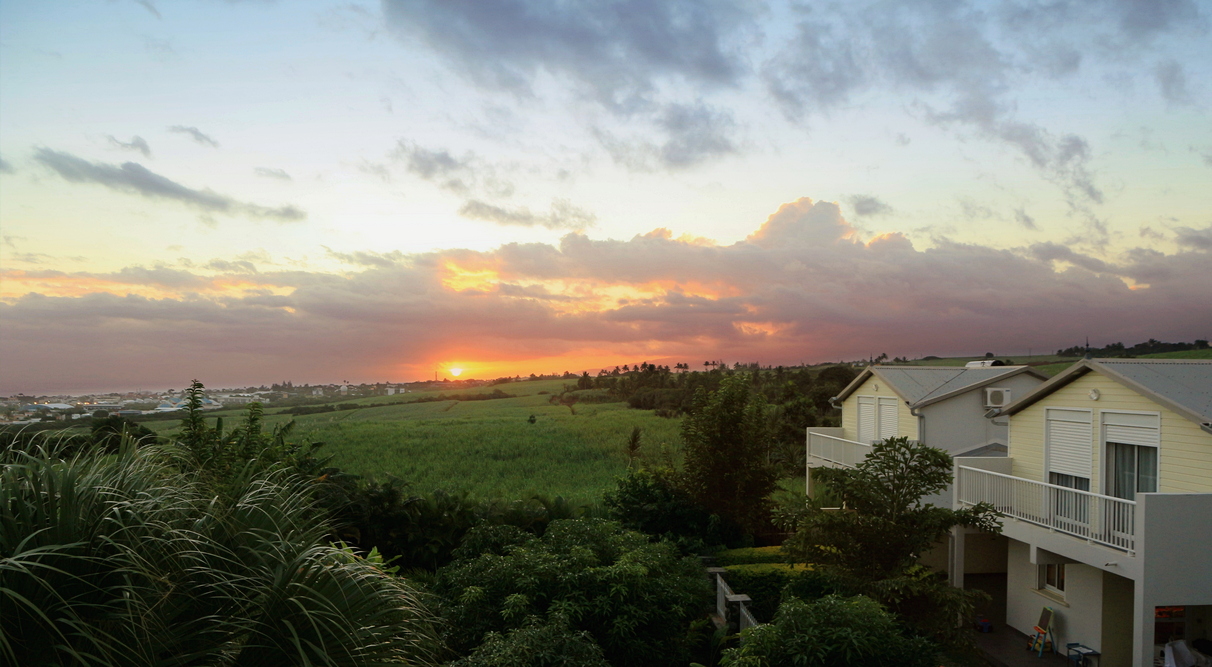
After four fabulous months spent in La Réunion, bye bye Ville de Saint-Pierre ...
Bye bye to our wonderful apartment at Oasis de Terre Rouge !
 Oasis de Terre Rouge
Please follow us on next page: Australia July
Previous page